 |
Boating Cruise 1 |
|
|
Boating Cruise 1 |
This cruise takes place on the Training Chart. It starts at Chemainus, proceeds across Stuart Channel, then south to Erskine Pt. on Saltspring Island, and finally back to Chemainus.
(You may click on some images for a bigger version.)
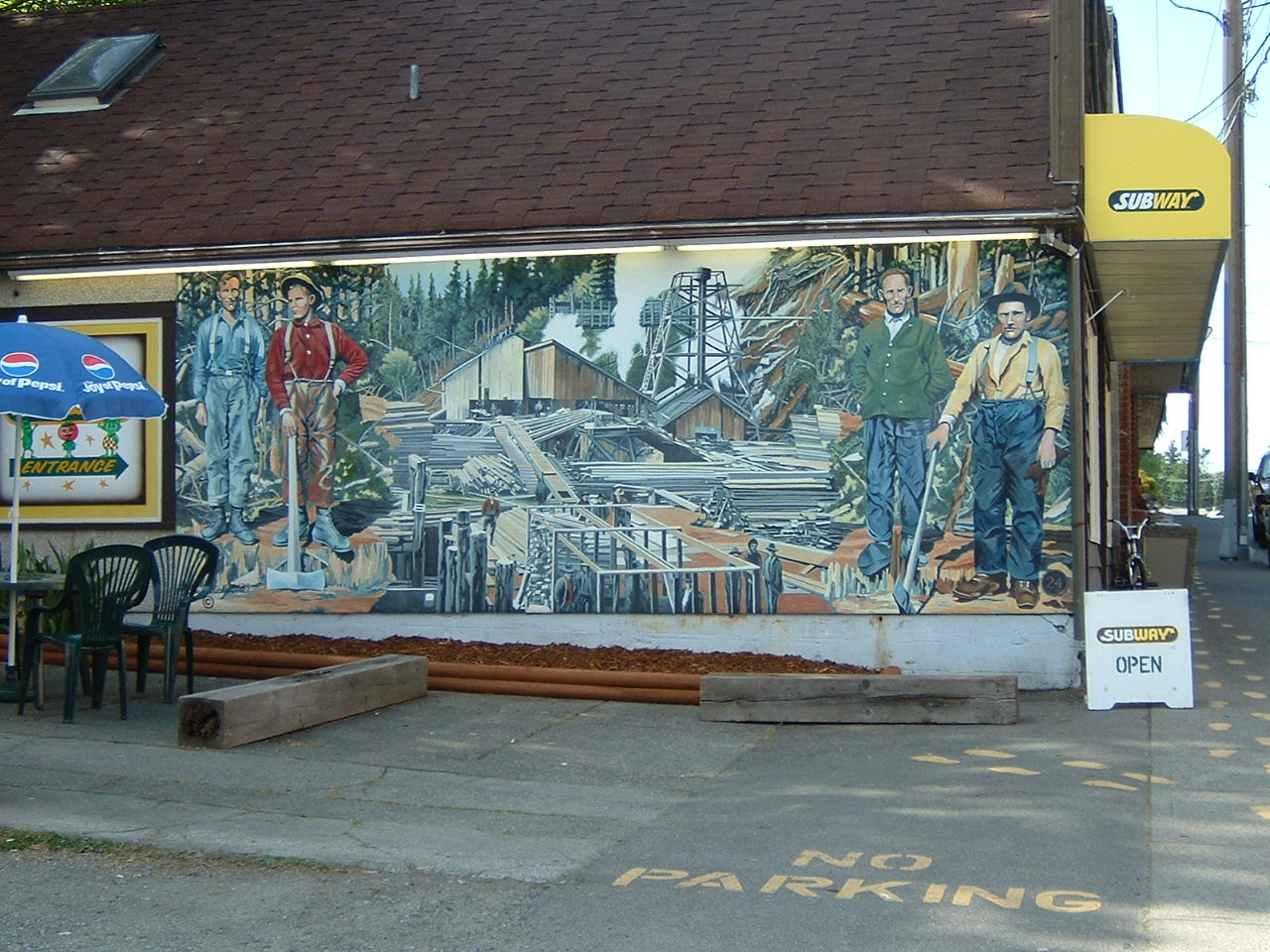
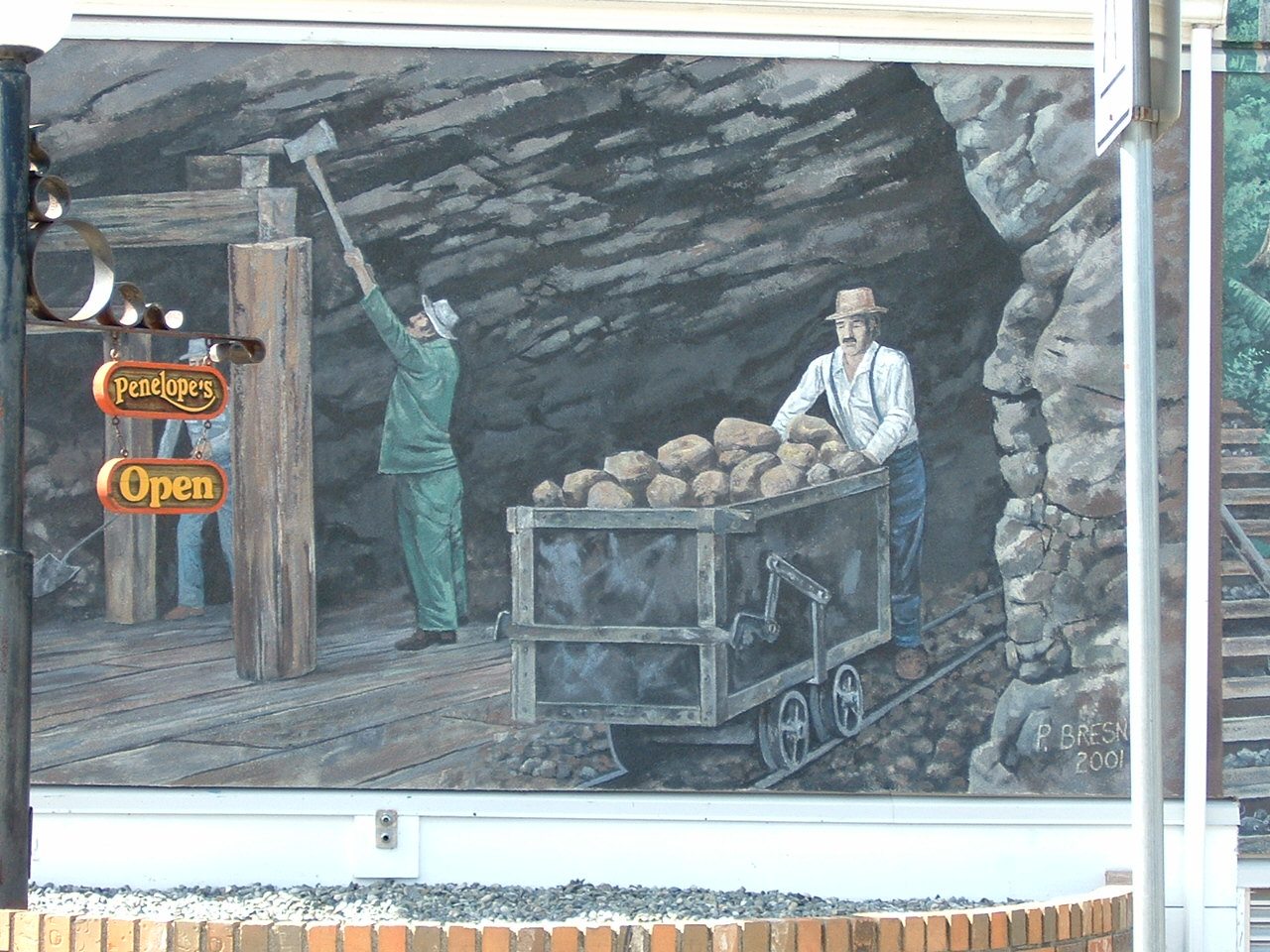
Chemainus is a well-known for the murals depicting the area's history that are painted on many buildings in the town. Several of these murals are shown below.
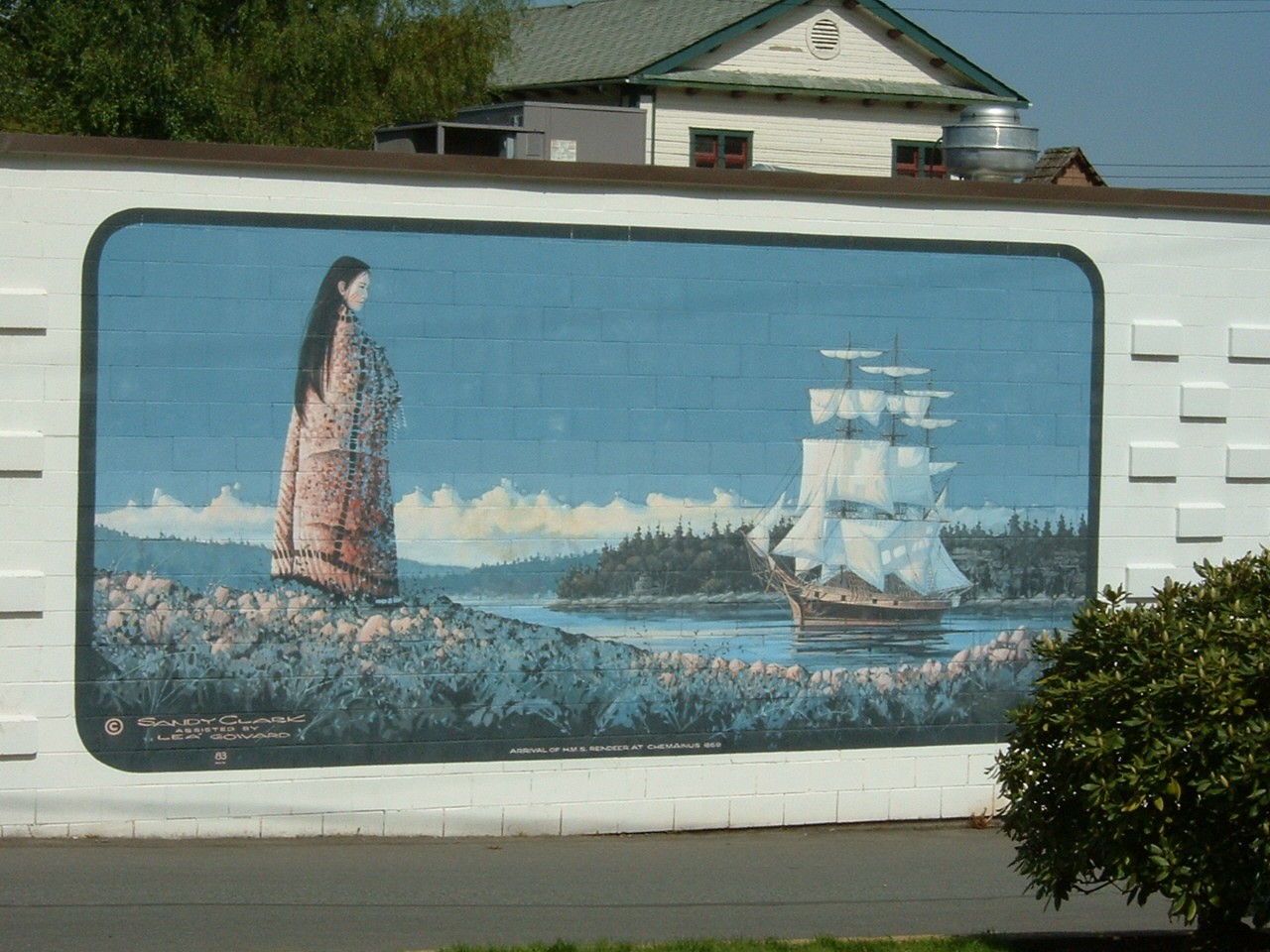
The arrival of the HMS Reindeer in Chemainus Harbour, 1869
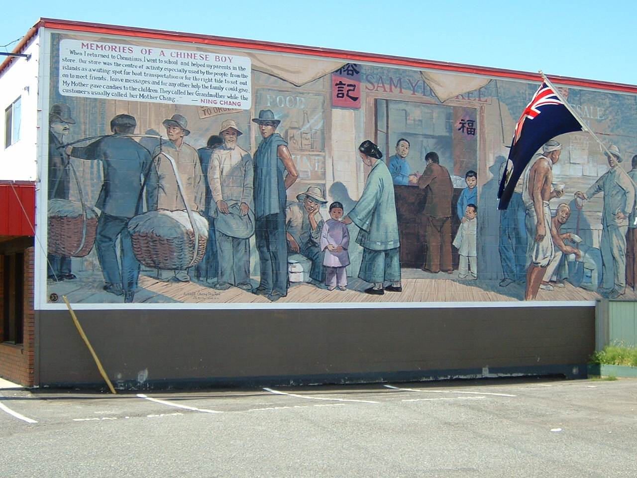
"When I returned to Chemainus, I went to school, and helped my parents in the store. The store was the center of activity especially used by the people from the islands waiting for boat transportation or for the right tide to set out on to meet friends, to leave messages or for any other help the family could give. My mother gave candies to the children. They called her Grandmother while the customers usually called her Mother Chang." - Ning Chang
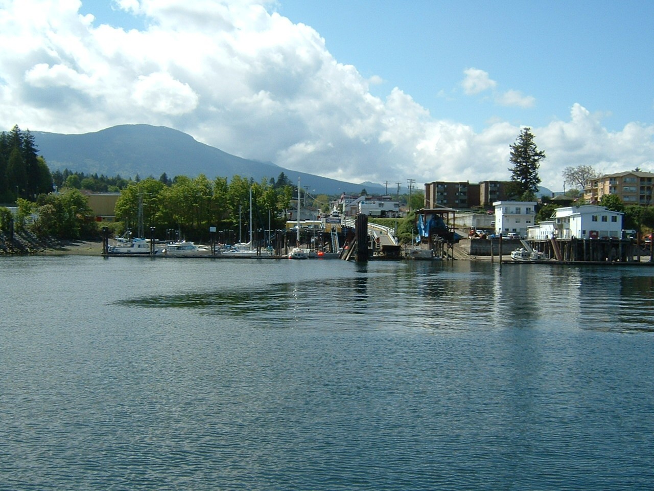
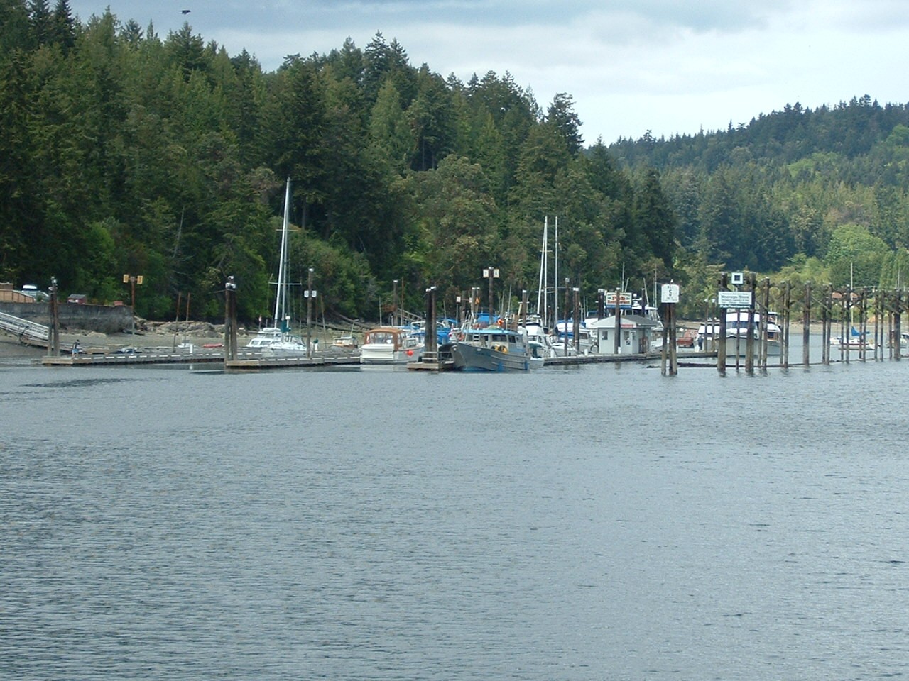
Chemainus has a small municipal marina. The outer float, and one side of the second float, are reserved for transient vessels. A ferry dock to the right of the marina is used by the ferry serving Thetis and Kuper Islands.
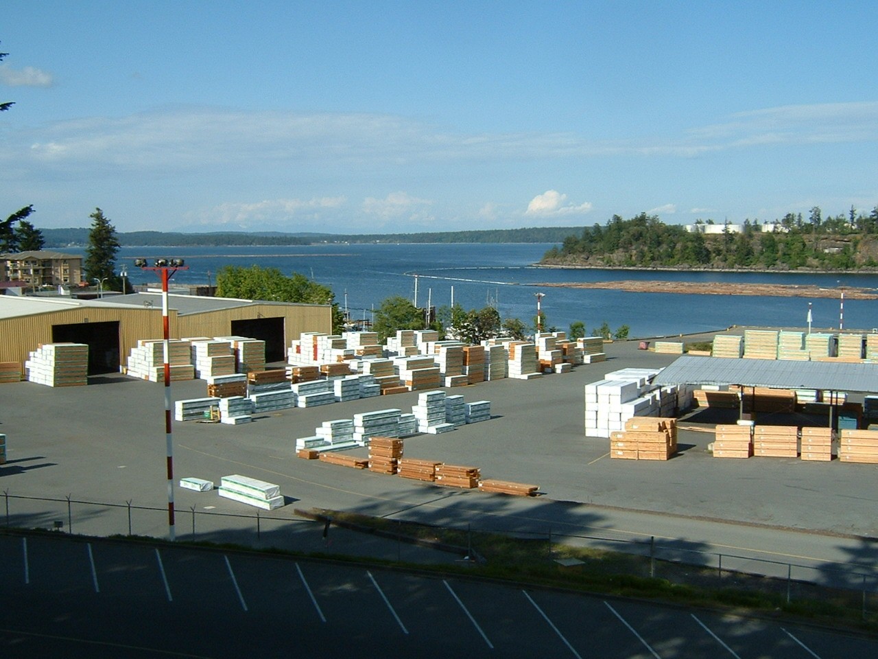
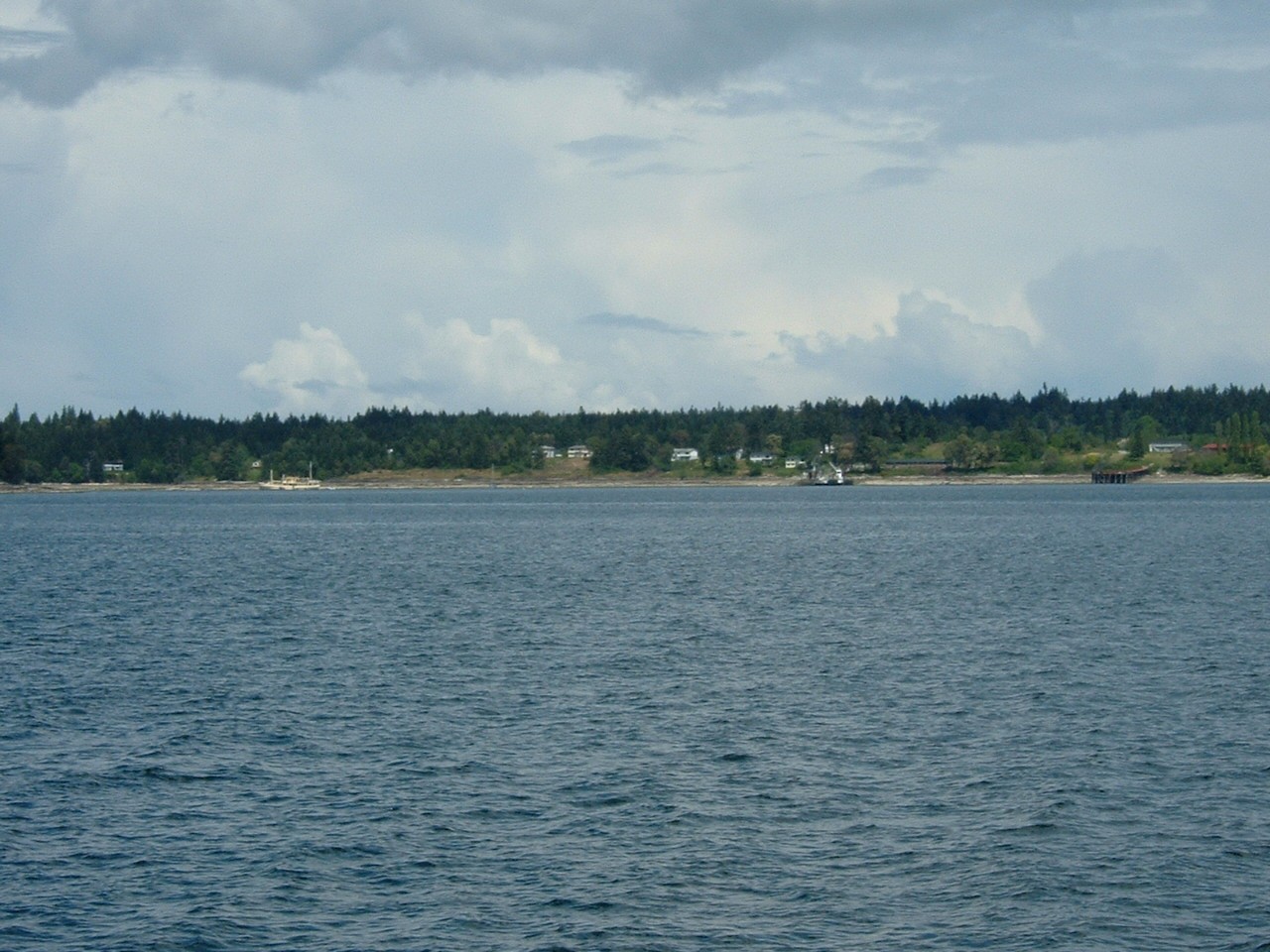
A view of Chemainus harbour showing the lumber storage dock and booming ground.
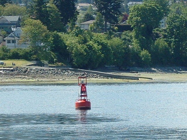
Starboard hand lighted buoy U30 at the entrance to Chemainus Harbour
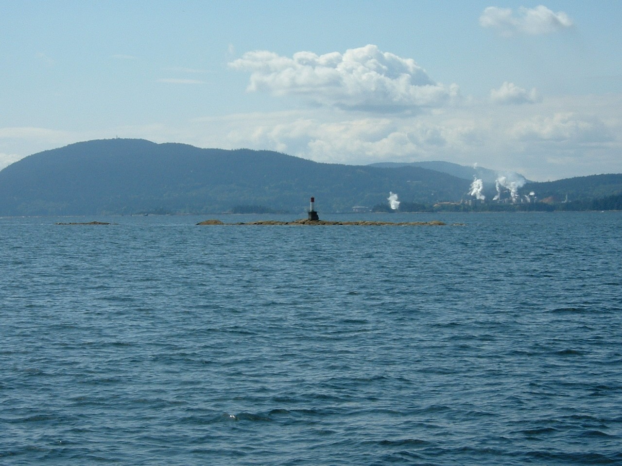
Fl(2) white light on Alarm Rock.
Telegraph Harbour entrance. The buoys shown on the training chart do not exist. On the right of the picture, you can see the ferry dock (with ferry) and another wharf on Kuper Island.
Light and daymarks on the reef in the channel between Telegraph Harbour and Preedy Harbour
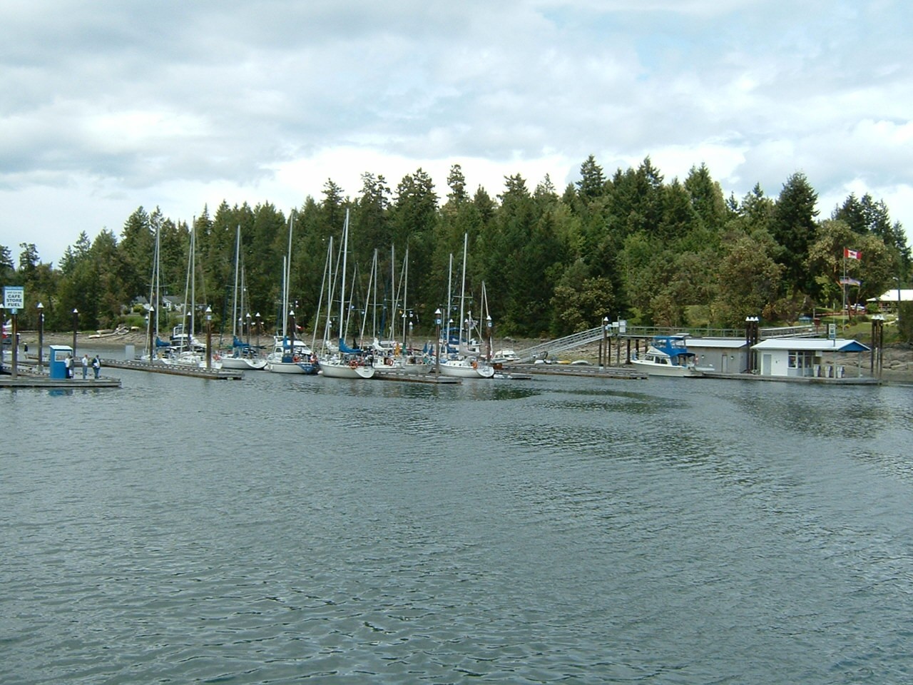
In place of the various buoys shown on the training chart, Telegraph Harbour has two marinas. The first one, on your port side as you go up the harbour, is called Thetis Island Marina. It offers fuel, moorage, a small store, and a pub/restaurant.
The Telegraph Harbour Marina is at the head of the harbour. It also has moorage, store and cafe (but no pub).
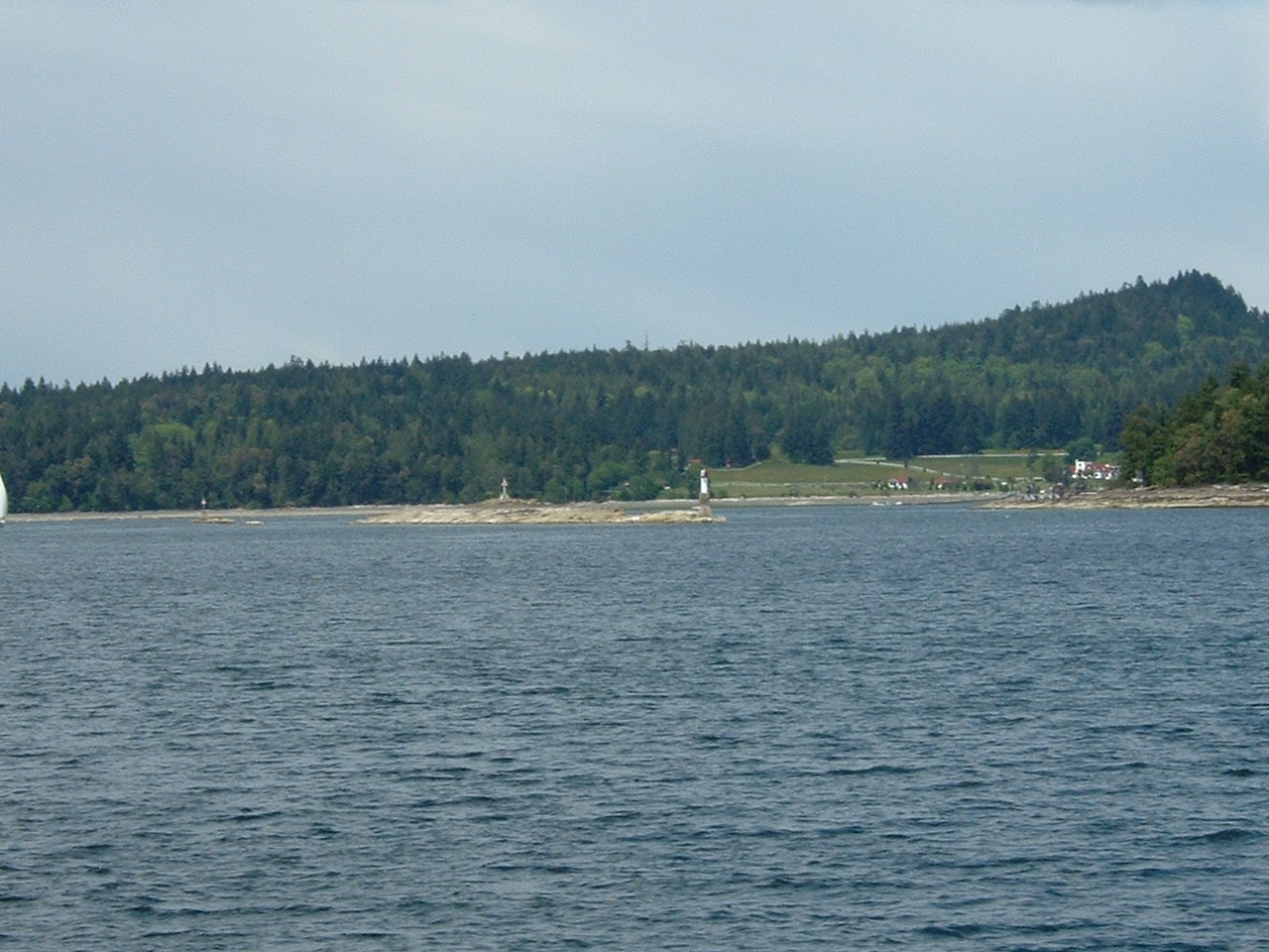
Escape Reef actually has a daymark consisting of a white circular tower with red band, instead of cardinal buoys shown on the training chart. I don't think you would ever find four cardinal buoys in such close proximity.
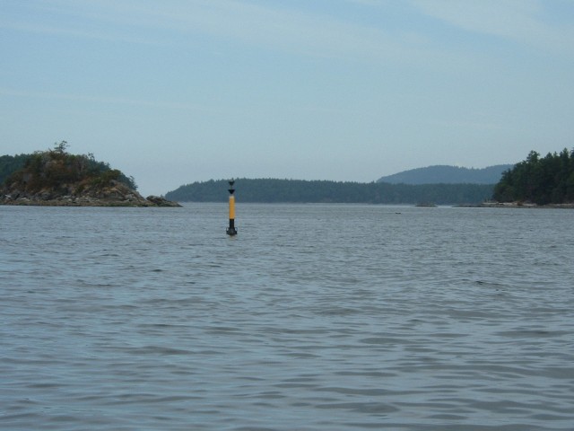
This south cardinal buoy is located at the south end of the reef south of Mowgli Island (east of Kuper Island). It is not shown on the training chart.
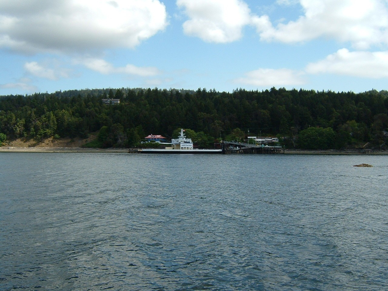
The ferry dock at Vesuvius. There is a small public float behind the ferry dock, which could give access to the pub and other facilities nearby.
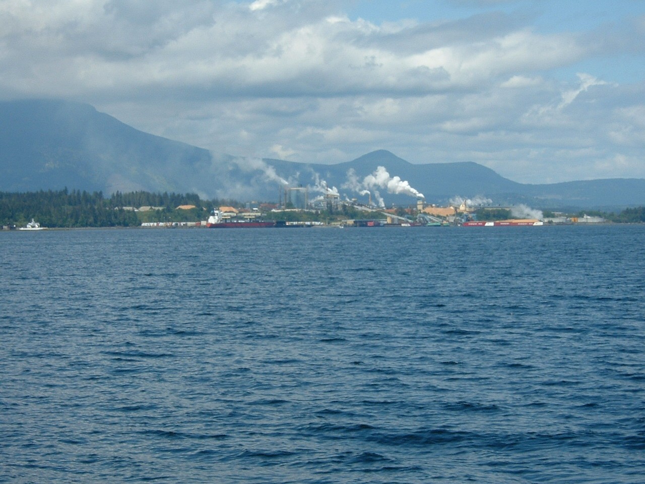
The Crofton sawmill
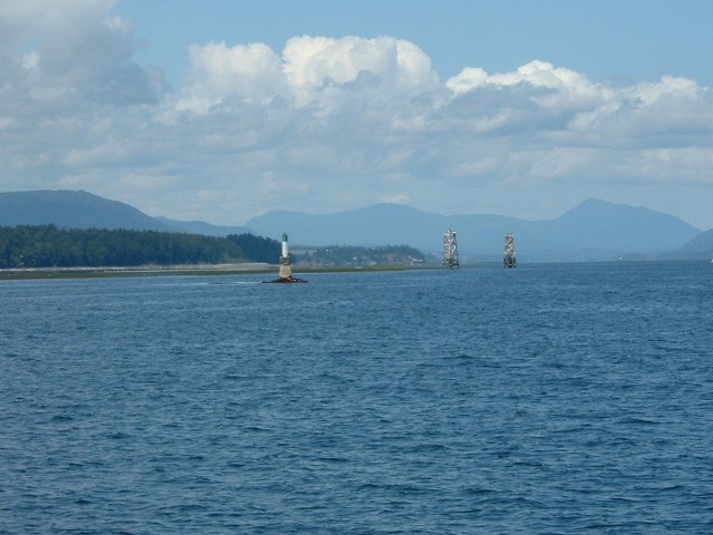
Indian Reef has a Port Hand daymark that looks like a minor light, rather than the charted East Cardinal buoy. The two towers are at the ends of the pipelines extending out from the Crofton sawmill.
cruise1.html revised 20060928 PB